


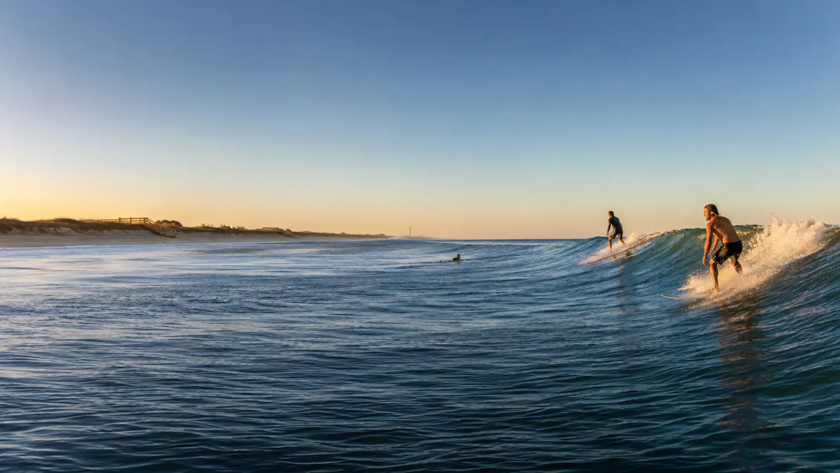
Satellite Beach weather, surf, tides & tropics
Space Coast Storm & Home Guide
Official public conditions and forecasts for the Space Coast—organized in one clear, privacy-conscious local dashboard.
Last refresh Sat, Oct 17 · 12:57 pm Eastern · 11 minutes ago.
official NWS alerts
Warnings and advisories for Satellite Beach.
Always follow instructions from emergency management, lifeguards, and the National Weather Service.
Rip Current Statement issued October 17 at 9:31AM EDT until October 20 at 4:00AM EDT by NWS Melbourne FL
* WHAT...For the High Rip Current Risk, dangerous rip currents.
For the High Surf Advisory, large breaking waves of 4 to 10
feet expected in the surf zone.
* WHERE...Coastal Volusia, Coastal Indian River, Coastal Saint
Lucie, Coastal Martin, Mainland Northern Brevard, Northern
Brevard Barrier Islands, Mainland Southern Brevard and
Southern Brevard Barrier Islands Counties.
* WHEN...For the High Rip Current Risk, through late Monday
night. For the High Surf Advisory, from 11 PM this evening to
4 AM EDT Tuesday.
* IMPACTS...Dangerous swimming and surfing conditions and
localized beach erosion. Rip currents can sweep even the best
swimmers away from shore into deeper water.
Recommended action: High surf will affect the beaches in the advisory area, producing
localized beach erosion and dangerous swimming conditions.
Swimmers should remain out of the water due to large breaking
waves and dangerous surf conditions.
Rip currents are powerful channels of water flowing quickly away
from shore, which occur most often at low spots or breaks in the
sandbar and in the vicinity of structures such as jetties and
piers. Heed the advice of lifeguards, beach patrol flags and
signs.
Entering the surf is strongly discouraged. If caught in a rip
current, relax and float. Don't swim against the current. If
able, swim in a direction following the shoreline. If unable to
escape, face the shore and call or wave for help.
High Surf Advisory issued October 17 at 9:31AM EDT until October 20 at 4:00AM EDT by NWS Melbourne FL
* WHAT...For the High Rip Current Risk, dangerous rip currents.
For the High Surf Advisory, large breaking waves of 4 to 10
feet expected in the surf zone.
* WHERE...Coastal Volusia, Coastal Indian River, Coastal Saint
Lucie, Coastal Martin, Mainland Northern Brevard, Northern
Brevard Barrier Islands, Mainland Southern Brevard and
Southern Brevard Barrier Islands Counties.
* WHEN...For the High Rip Current Risk, through late Monday
night. For the High Surf Advisory, from 11 PM this evening to
4 AM EDT Tuesday.
* IMPACTS...Dangerous swimming and surfing conditions and
localized beach erosion. Rip currents can sweep even the best
swimmers away from shore into deeper water.
Recommended action: High surf will affect the beaches in the advisory area, producing
localized beach erosion and dangerous swimming conditions.
Swimmers should remain out of the water due to large breaking
waves and dangerous surf conditions.
Rip currents are powerful channels of water flowing quickly away
from shore, which occur most often at low spots or breaks in the
sandbar and in the vicinity of structures such as jetties and
piers. Heed the advice of lifeguards, beach patrol flags and
signs.
Entering the surf is strongly discouraged. If caught in a rip
current, relax and float. Don't swim against the current. If
able, swim in a direction following the shoreline. If unable to
escape, face the shore and call or wave for help.
current conditions
Satellite Beach and the Space Coast right now.
Latest available official observation, shown in Eastern Time.
Conditions unavailable
82°FCocoa - Patrick Space Force BaseObserved Sat, Oct 17 · 11:55 amland forecast
Plan the next several hours and days.
Forecast periods come from the National Weather Service Melbourne office.
Next 12 hours
Seven-day outlook
CurrentShowers And Thunderstorms Likely
Rain 60% · NNW 15 to 25 mphChance Showers And Thunderstorms then Slight Chance Showers And Thunderstorms
Rain 39% · N 25 to 30 mphChance Rain Showers
Rain 35% · NNE 25 to 30 mphChance Rain Showers
Rain 37% · NE 25 to 30 mphChance Rain Showers
Rain 34% · NNE 25 mphChance Rain Showers
Rain 34% · NNE 20 to 25 mphSunny then Slight Chance Rain Showers
Rain 16% · NNE 20 to 25 mphSlight Chance Rain Showers then Mostly Clear
Rain 16% · NNE 20 to 25 mphSunny then Slight Chance Rain Showers
Rain 15% · NNE 15 to 25 mphSlight Chance Rain Showers then Mostly Clear
Rain 15% · NNE 15 to 25 mphSlight Chance Rain Showers
Rain 24% · N 15 to 25 mphSlight Chance Rain Showers then Mostly Clear
Rain 23% · N 15 to 25 mphSlight Chance Rain Showers
Rain 18% · N 15 to 25 mphSlight Chance Rain Showers then Mostly Clear
Rain 18% · NNE 15 to 20 mphsouthern Brevard surf zone
Beach and surf guidance for the barrier islands.
Rip currents can occur even on otherwise pleasant beach days. Swim near a lifeguard and follow posted warnings.
Issued Sat, Oct 17 · 11:00 am for Southern Brevard Barrier Islands.
Open official surf-zone product ↗Atlantic marine conditions
Buoys, waves, periods, and wind off Florida’s Space Coast.
Marine observations and forecasts are planning information—not a substitute for Coast Guard, NWS, or local safety guidance.
Nearshore buoy 41113
CurrentObserved Sat, Oct 17 · 11:56 am.
Open buoy station ↗Offshore buoy 41009
CurrentObserved Sat, Oct 17 · 12:30 pm.
Open buoy station ↗Five-day marine trend
local tide predictions
High and low tides along the Space Coast.
Predictions use NOAA station data in local time and may differ from observed water levels during wind and weather events.
Patrick / Satellite Beach
Canova / Indian Harbour Beach
Cocoa Beach
Sebastian Inlet / South Beaches
Atlantic tropics
National Hurricane Center outlook and active systems.
Use official evacuation orders, emergency-management instructions, and hurricane products for decisions.
Atlantic Tropical Weather Outlook
000 ABNT20 KNHC 171135 TWOAT Tropical Weather Outlook NWS National Hurricane Center Miami FL 800 AM EDT Sat Oct 17 2026 For the North Atlantic...Caribbean Sea and the Gulf of America: Tropical cyclone formation is not expected during the next 7 days. $$ Forecaster Beven
Read the full outlook ↗
Official public imagery
Regional radar & satellite views
Official animated images are loaded directly from NOAA/NWS with no Orange Structural tracking parameters.
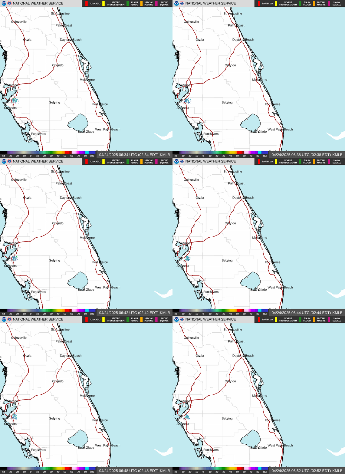
Melbourne radar loop
View rain, thunderstorms, and weather movement across the Space Coast and nearby Atlantic waters.
Open official viewer ↗
Southeast radar loop
Follow larger weather systems and rain patterns moving across Florida and the southeastern United States.
Open official viewer ↗
GOES Caribbean satellite loop
Watch cloud cover and tropical weather across the Caribbean, Florida, and the western Atlantic.
Open official viewer ↗before the storm
Prepare while conditions are still safe.
Plan existing shutter or panel operation, manageable loose-item securing, ordinary hardware checks, and safe access before watches, warnings, curfews, or unsafe weather.
Hurricane Preparationafter the storm
Organize eligible repairs in the right order.
Orange Structural can complete focused finish, screen, interior-door, selected hardware, and other qualifying repair work after hazards and licensed-trade needs are resolved.
Storm Repair Centerhow this page works
Public information, cached safely.
A protected Orange Structural server job retrieves public NWS, NOAA, NDBC, and National Hurricane Center data every 15 minutes. Visitors do not submit an address, share browser location, create an account, or trigger upstream weather requests.
Weather, surf, tide, marine, radar, and tropical information can be delayed, incomplete, or change without notice. This page is for convenient planning only. For emergencies and life-safety decisions, use official agency products and follow local authorities.
Radar, satellite, and tropical outlook images are requested directly from official government servers when displayed.